Reading NOAA Tide and Current Predictions for Trip Planning (MLLW, Slack Water and Bridge Clearance)
Tide is the water going up and down; current is the water moving sideways, and their timing doesn't always line up. Learn to find the right NOAA station, read high and low tides against chart datum (MLLW), find slack water and peak current, check bridge clearance against mean high water, and plan launches, anchoring and inlet crossings around them.
Time
20 min
Applies to
All engines
Safety first: Predictions are astronomy, not weather. Strong wind, low pressure, storm surge and river flooding can push the water well above or below the tables, so check the real-time water level too. If you're unsure whether your mast, tower or antenna will clear a bridge, don't try it: stop well upstream, wait for lower water or call the bridge tender on VHF. Never let the current carry you under a bridge you might not clear.
Owners often ask
- What does a negative tide on the tide chart mean for the depths on my chart?
- Why is the current still running out when the tide table says it is already low tide?
- How do I know if my sailboat mast will clear a bridge or a power line at high tide?
This guide walks you through it. Still stuck? Ask the AI Mechanic about your engine.
Tools
- Phone or computer with internet access (NOAA Tides & Currents website)
- Current nautical chart or chartplotter for your area
Before you start
Tide vs. current. NOAA's tide tutorial explains the difference: the tide is the vertical rise and fall of the water; the tidal current is the horizontal flow that goes with it. The incoming current is the flood, the outgoing current is the ebb, and the weak period in between is slack water.
They don't always line up. In some rivers and estuaries, NOAA says slack water roughly coincides with high or low tide, but it also notes that the strongest currents usually come before or near high and low tide. At many inlets and narrow passages the current keeps running for some time after the water starts to fall or rise. That's why you need separate current predictions for anything that depends on current: inlets, docking, anchoring in a river, passing under bridges, drifting for fish.
Why it varies through the month. NOAA explains that at new and full moon the tidal range and currents are stronger (spring tides and currents; nothing to do with the season), and at the quarter moons they're weaker (neap). They're also stronger than average when the moon is closest to Earth (perigean). Funnel-shaped bays make it all bigger.
Inland water. On lakes and most rivers there's no meaningful tide, but water levels still change with dam releases, rain and drought. The Great Lakes and some rivers use their own low-water reference instead of MLLW; check the datum note on your chart.
Steps
On NOAA Tides & Currents, open Tide Predictions and pick a station by state, by name, or on the map. Choose the one closest to where you'll actually be, on the same side of any inlet or narrow pass. A station at the ocean beach can be off by an hour or more, and by feet of height, from one a few miles up a creek.
The tide table lists each high and low for the day, with time and height. Check:
- Time zone and daylight saving time shown on the page
- Units (feet or meters)
- Datum, which should be MLLW for planning with charts
- Whether it's a reference station or a subordinate one (predictions estimated from a nearby station); subordinate stations give highs and lows only
The daily graph helps you see when the water is rising fastest, roughly in the middle hours between low and high.
NOAA defines Mean Lower Low Water (MLLW) as the average of the lower of each day's two low tides over the national tidal epoch, and states it's the reference datum for NOAA predictions and nautical charts. That means:
- A charted depth of 4 feet is the water you'd typically have at an average lower low tide.
- A predicted tide of +2.0 ft adds about 2 feet to the charted depth.
- A negative tide (say -1.0 ft) means the water is lower than the chart datum, so subtract that from charted depths. Negative tides are most likely around new and full moon.
Water under you = charted depth + predicted tide height (minus the effect of any strong offshore wind or high pressure).
Write down your boat's draft with the engine or drive down (and the depth needed to plane or to get off a trailer). For any shallow spot on your route, anchorage or marina entrance, add the predicted tide at the time you'll be there to the charted depth and leave a safety margin. Shoals move; charted depths in sandy areas may be old.
Open Current Predictions and find a current station for your channel, inlet or pass. The table shows:
- Slack times (the current turning)
- Max flood and max ebb times and speeds, in knots
- The direction of flood and ebb in degrees (true)
Some stations show predictions at a specific depth; use the one nearest the surface for boat handling.
- Inlets and narrow passes: aim to cross near slack or on the flood; avoid the strongest ebb against an ocean swell (our inlet guide covers why).
- Slow boats and sailboats: a 2-knot current with you or against you can be a big part of your speed. Time long legs to ride the current.
- Docking in a river or tidal marina: note which way the current will be running when you come back, and plan to approach into it (our docking guide covers how).
- Fishing: many anglers time trips around moving water; just remember the current also changes how your boat drifts and how the anchor holds.
NOAA charts list bridge vertical clearances above Mean High Water (MHW), a different datum from the depths (NOAA's bridge-clearance update for the Lower Mississippi confirms charted clearances there were referenced to MHW, with a special river correction; read the clearance note on your own chart or in the Coast Pilot). In practice:
- At an average high tide, you have about the charted clearance.
- At an above-average high tide (spring tides, onshore wind, storm surge), you have less than charted.
- At low tide you usually have more, by roughly the difference between MHW and the current water level.
- Many bridges have clearance boards (gauges) on the fender system showing actual clearance; trust those over math. NOAA's Coast Pilot describes them as vertical number scales that read from top to bottom and show the actual clearance between the current water level and the lowest point of the bridge over the channel, normally on the right-hand pier or abutment, on both the upstream and downstream sides.
- The Coast Pilot confirms the convention: bridge and overhead cable clearances are in feet above mean high water unless otherwise stated. The Great Lakes volume (Coast Pilot 6) is an exception and uses Low Water Datum, so read the note for your area.
- Overhead power cables are a separate danger for sailboats and boats with tall antennas or outriggers. The Coast Pilot notes that charted cable clearances are for the lowest wire, that weather, ice and time can reduce them, and that electricity can arc to a mast without touching it, so the Coast Guard and OSHA advise a safety buffer below power lines. When a chart or Coast Pilot gives a "safe vertical clearance" for a cable, use that figure, not the plain clearance.
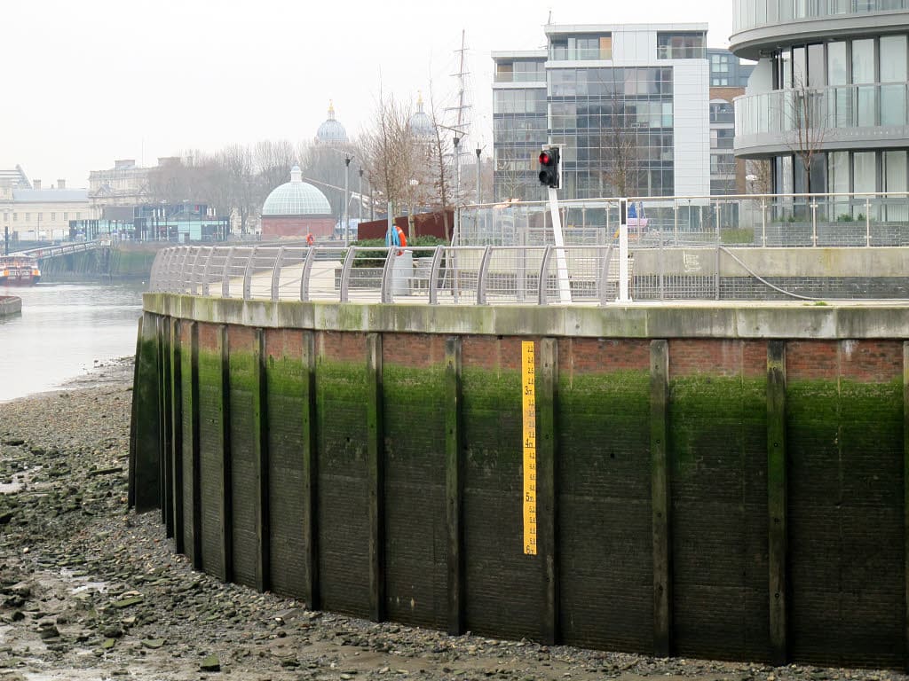
A clearance gauge on a bridge fender wall reads the real clearance at the current water level. This one is in London and reads in meters; U.S. boards read in feet. Photo: Stephen Craven / Wikimedia Commons · CC BY-SA 2.0 Know your boat's air draft: the height from the waterline to the highest point (antenna, light, tower, radar, mast top) with any fold-down gear in its up position. Leave a margin, because waves and wakes lift the boat.
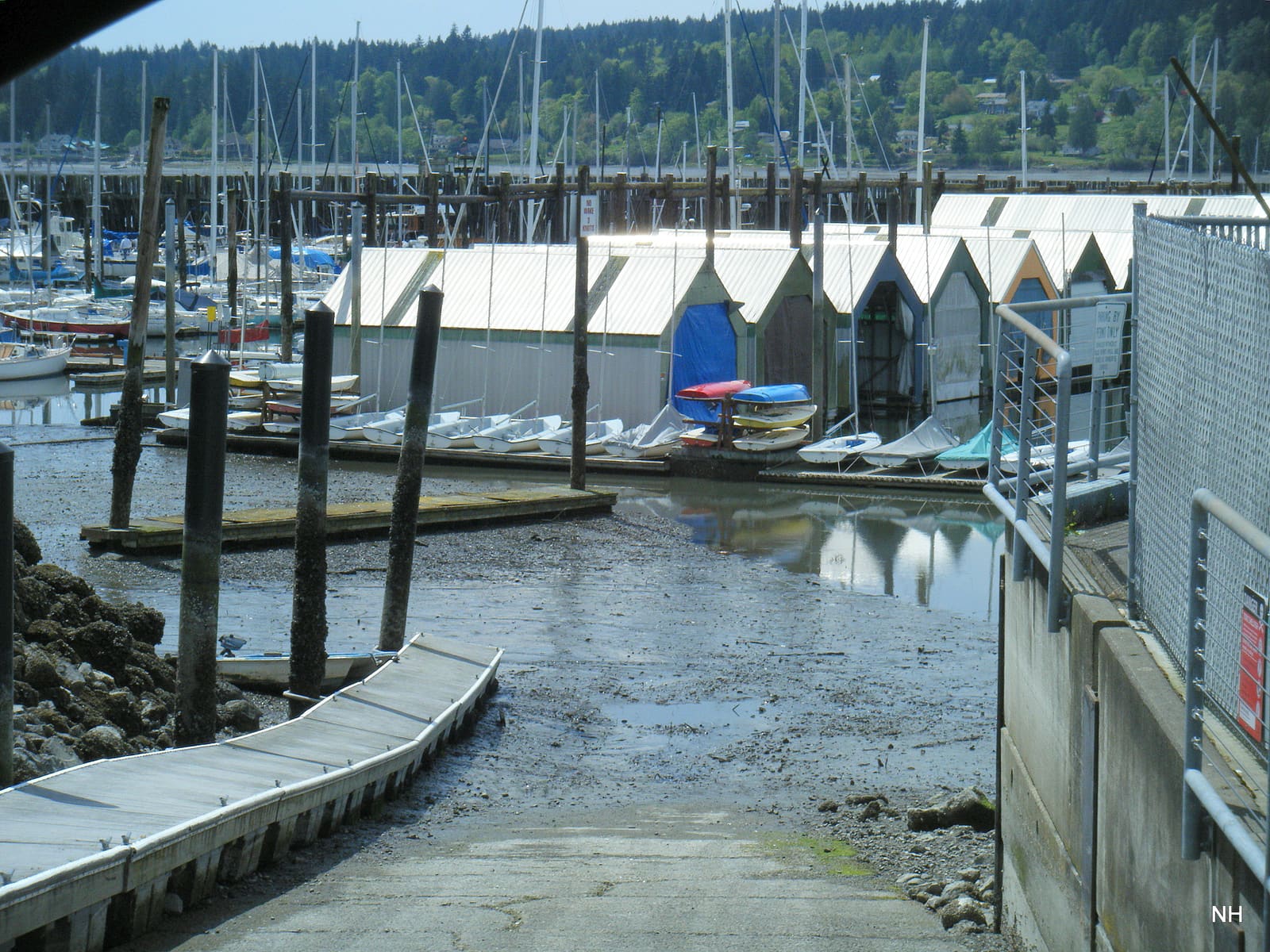
Many tidal ramps are fine at mid and high tide and unusable near low:
- The end of the ramp may be exposed, and trailers can drop off the end
- The tow vehicle may have to back in too deep to float the boat
- Mud and algae on the lower ramp are slippery (our ramp traction guide covers that)
Check the low tide for your launch and return times. If you're coming back at low water, scout the ramp the first time at low tide or ask the ramp operator. Our solo launch guide covers the ramp routine.
When you anchor in tidal water, figure the scope for the highest water you'll see while anchored, not the depth when you drop it. Example: 8 feet at low tide with a 5-foot range means about 13 feet at high water, plus the height of your bow roller above the water. Also check you'll still float at the next low tide, and that the boat swinging 180 degrees when the current turns won't put you on a shoal or another boat. Our anchor scope guide shows the math.
If you need the height between high and low, the old rule of twelfths gives a rough estimate on a regular, twice-daily tide: in the six hours from low to high, the water rises about 1/12 of the range in hour one, 2/12 in hour two, 3/12 in hours three and four, 2/12 in hour five and 1/12 in hour six. It doesn't work well for irregular or once-a-day tides (common in the Gulf); use NOAA's graph instead.
Many NOAA stations also show observed water level next to the prediction. If the observed line is running a foot under the prediction because of a strong offshore wind, plan for that, and expect the same at your shallow spots. In some busy ports, NOAA's PORTS system shows real-time currents and water levels too.
Write down for the day: low and high times and heights, slack and max current times at your inlet, and your bridge and ramp limits. Add them to your float plan so your contact knows when you planned to cross.
Common mistakes
- Assuming slack water happens exactly at high or low tide.
- Using a tide station on the other side of an inlet or at the ocean when you're up a creek.
- Forgetting a negative tide takes water away from charted depths.
- Reading bridge clearance as if it were measured from low water.
- Ignoring the wind: a strong blow can hold water out of a bay for a day.
- Anchoring with just enough scope for low tide, then dragging at high water.
- Launching at high tide and coming back to a dry ramp.
When to call a pro
- Aground on a falling tide with water coming in, or anyone at risk: Coast Guard on VHF 16 or 911
- Aground with no danger: call TowBoatUS or Sea Tow; trying to power off can damage the drive and hull
- Unsure of a bridge clearance: call the bridge tender or the marina, or hire a local captain for the first passage
- New to a tidal area: a coastal navigation course from the Coast Guard Auxiliary or the U.S. Power Squadrons covers tides, currents and charts
Tips
- Bookmark your home tide and current stations on your phone.
- Note your air draft and draft on a label at the helm.
- Fold-down antennas and T-tops exist for a reason; use them before low bridges.
- Plan your return, not just your departure: that's when the tide most often catches people.
Official references
We read these to write this guide. Your engine's own manual always wins.
- NOAA Tides & Currents – Tide Predictions
- NOAA Tides & Currents – Current Predictions
- NOAA Tides & Currents – Datums (definitions of MLLW, MHW and other datums)
- NOAA Ocean Service Education – What are Tides?
- NOAA Ocean Service Education – Tidal Currents 1 (flood, ebb, slack, spring and neap currents)
- NOAA Ocean Service Education – Tidal Currents 2 (perigean currents, funnel-shaped bays)
- NOAA Office of Coast Survey – NOAA updates bridge clearances crossing one of the most important waterways in the United States
- NOAA Office of Coast Survey – U.S. Coast Pilot 3, Chapter 1, General Information (Nov. 2026 edition; bridge clearances, clearance gauges, overhead cables)
Safety: BoatMend is for information only and does not replace a certified marine technician. You are responsible for your safety and your boat. Read the full disclaimer.
Last updated 2026-11-06
Related guides
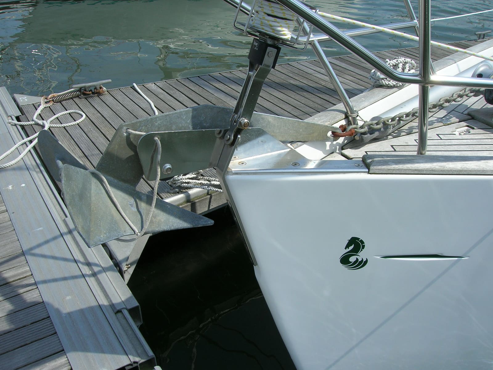
Anchor Basics: Choosing the Anchor, Rode and Scope, Setting It and Checking Your Gear
Match your anchor to the bottom you usually anchor in, put together a chain-and-nylon rode, let out enough scope for the depth and weather, set and check the anchor, use an anchor alarm, and inspect the rode, splices and shackles every season so the weakest link isn't hiding in your ground tackle.
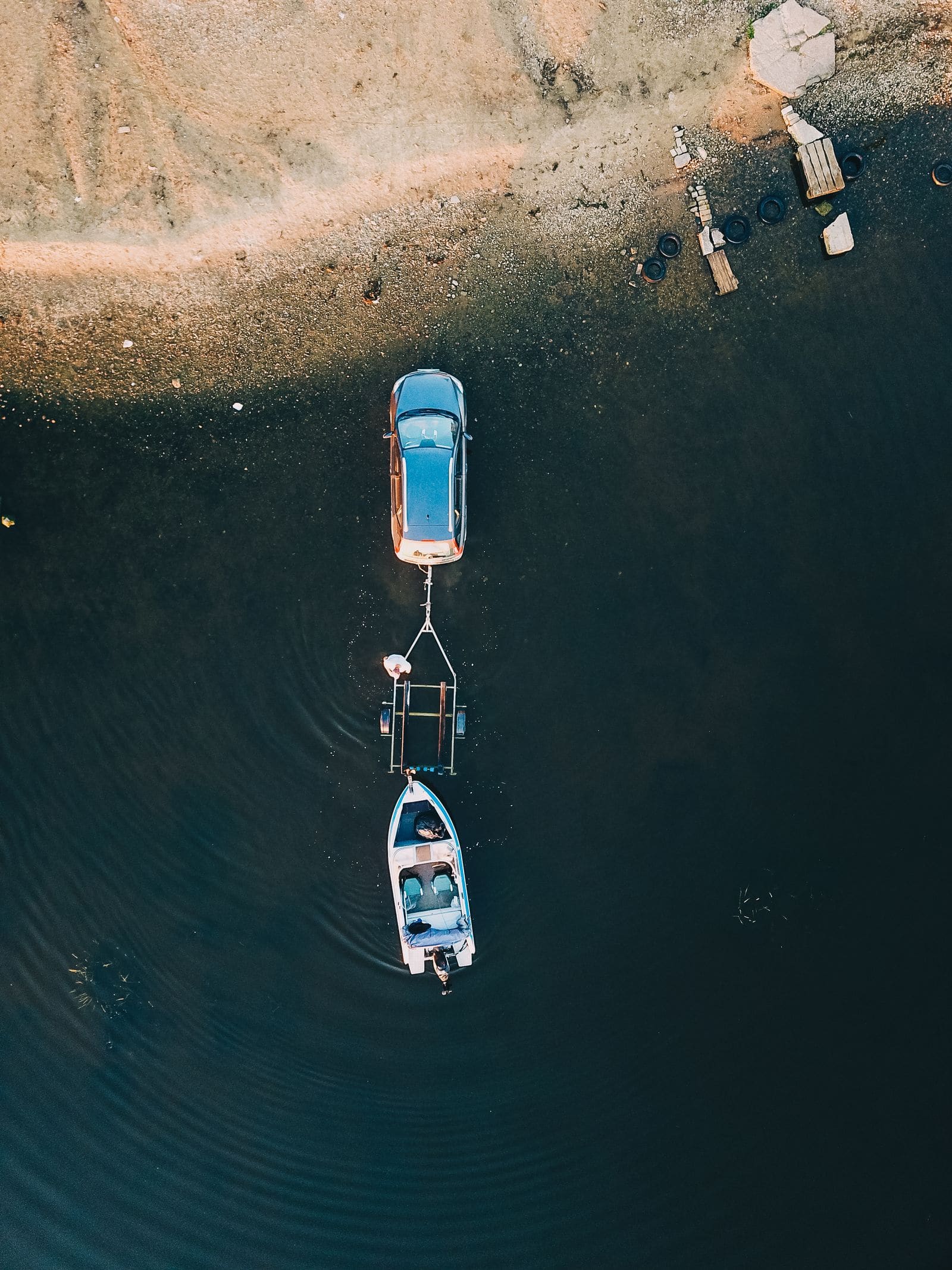
How to Launch and Retrieve Your Boat Alone
A repeatable routine for putting a trailer boat in and taking it out by yourself: what to do in the staging area, how to rig one long line so you can control the boat from the dock, when power loading is off-limits, and the safety habits that keep you, your boat and the next boater out of trouble.
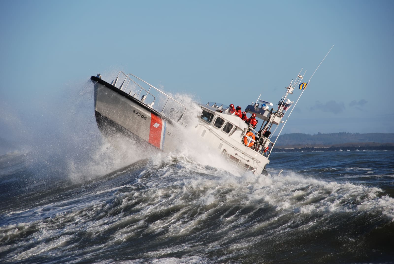
Crossing Inlets and Bars Safely: Tide Timing, Coast Guard Bar Restrictions and When Not to Go
Inlets and river bars are where calm-looking days turn deadly. Learn why an ebb tide against an ocean swell builds breaking waves, how to check bar reports and Coast Guard restrictions, how to read the inlet before you commit, how to run it with life jackets on, and when to wait or go somewhere else.
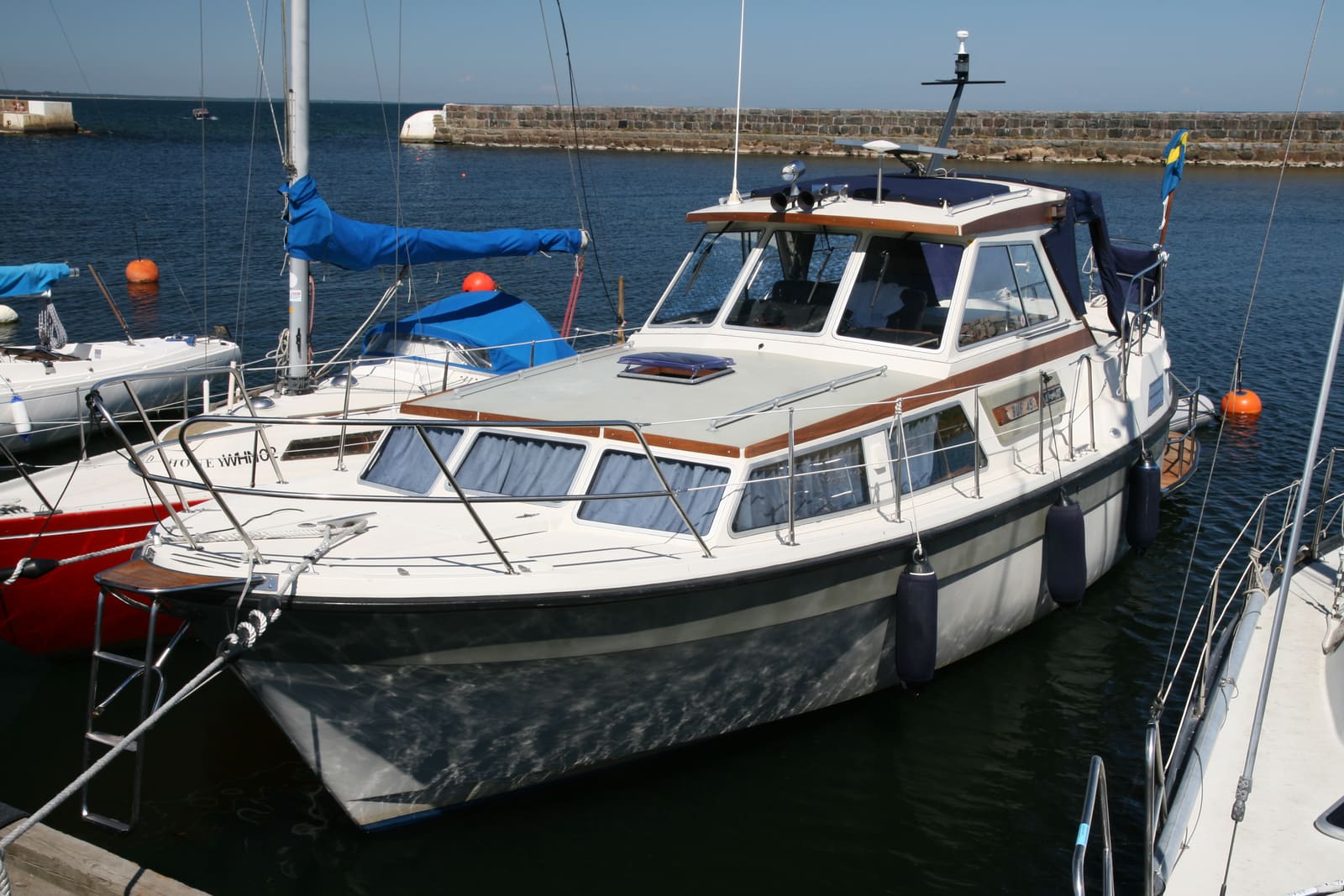
Docking in Wind and Current: Read the Conditions, Use Spring Lines and Know When to Go Around
Wind and current decide most docking jobs. Learn to watch your drift before you commit, approach into the stronger force, set fenders and lines with a clear crew plan, use a spring line to pin the boat to the dock, handle single and twin engines, and back out to try again before it turns into a collision.
Reading Marine Weather Forecasts: Advisories, Wind, Waves and Go/No-Go
Learn where to get the official NOAA marine forecast for your waters, what small craft advisories and warnings really mean, how to read wind and wave numbers, and how to make a simple go/no-go call before you leave the dock.
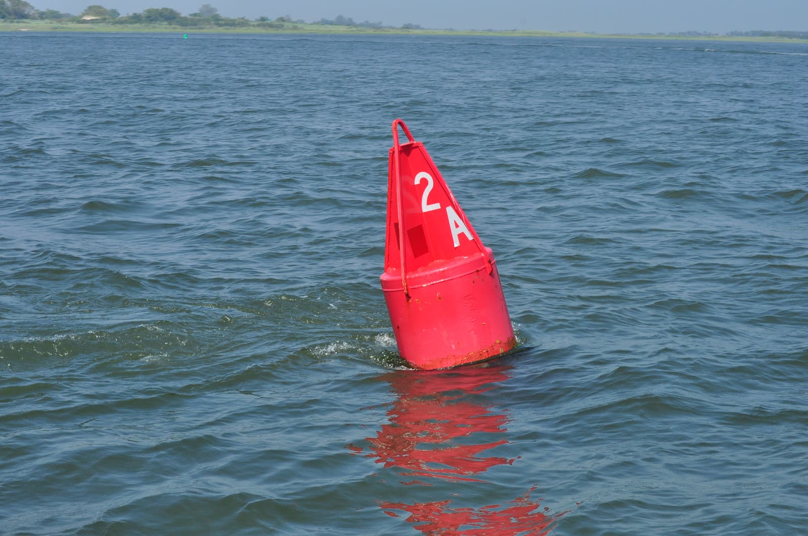
How to Read Buoys and Channel Markers: Red Right Returning and the U.S. Aids to Navigation System
Learn what the red and green buoys, daymarks and lights are telling you: red right returning, nuns and cans, odd and even numbers, preferred channel, safe water, isolated danger, the orange-and-white regulatory and information markers, the yellow symbols on the Intracoastal Waterway and how the Western Rivers system differs. Based on the Coast Guard's U.S. Aids to Navigation System rules (33 CFR Part 62).
How to File a Float Plan: What to Include, Who Gets It and What They Do If You're Late
A float plan is a short written trip plan you leave with someone ashore, not with the Coast Guard. Fill in the free USCG Float Plan or the Coast Guard app, agree on a firm 'call for help by' time, check in when plans change, close the plan when you're home, and give your shore contact clear steps for reporting you overdue.
Boat Ramp Traction with a 2WD or Front-Wheel-Drive Vehicle: Stop Spinning, Stay Dry
Spinning tires on a slick ramp are embarrassing at best and dangerous at worst. Learn how rear-wheel, front-wheel, AWD and 4WD vehicles behave on a ramp, how to set up weight and tires, when to use 4WD Low, how to keep the vehicle from sliding in, and what to do if you get stuck.
Shallow-Water Anchor Care: Power-Pole, Minn Kota Talon and Raptor Maintenance and Troubleshooting
Keep a shallow-water anchor deploying and holding: rinse it the way its maker recommends, inspect the spike and pivot bolts, check hydraulic fluid on pump models, keep the fuse, wiring and pump dry, update the software, know how to stow it by hand and get it ready for winter. Internal pump, circuit board and cylinder repairs go to an authorized service center.
Stepping and Unstepping a Sailboat Mast: Trailer Sailers and Yard Cranes
How to raise and lower a sailboat mast safely, whether you step a trailer sailer's mast at the ramp or help the yard crane do it, including power-line checks, mast wiring, basic tuning afterward, and when to leave the job to the yard.