Reading Marine Weather Forecasts: Advisories, Wind, Waves and Go/No-Go
Learn where to get the official NOAA marine forecast for your waters, what small craft advisories and warnings really mean, how to read wind and wave numbers, and how to make a simple go/no-go call before you leave the dock.
Time
30 min
Applies to
All engines
Safety first: If thunderstorms are possible, the National Weather Service strongly recommends not going out at all. If you are already out and a storm builds, head for port or shelter right away, put life jackets on everyone and secure loose gear. If you are in trouble, call USCG on VHF channel 16 or dial 911.
Owners often ask
- What wind and wave numbers make a small craft advisory, and should I go out in one?
- The forecast says seas 2 to 4 feet. Does that mean no wave will be bigger than 4 feet?
This guide walks you through it. Still stuck? Ask the AI Mechanic about your engine.
Tools
- Phone or computer with internet (at the dock)
- Marine VHF radio with weather (WX) channels, or a NOAA Weather Radio receiver
- Chart or chartplotter of your area
Before you start
Use the official forecast first. Apps and websites often repackage National Weather Service (NWS) data and may drop the advisories or the fine print. Start with the NWS marine forecast for your waters, then use apps for radar and extra detail.
Know which forecast covers you. The NWS issues separate marine forecasts for coastal waters, nearshore Great Lakes waters, offshore waters and the high seas, divided into numbered forecast zones. On the NWS marine page, click your area on the map to reach your local forecast office's marine forecasts and find your zone. Inland lakes and rivers usually do not get a marine forecast, so use the regular local forecast and the hazards for your county.
Know your boat and crew. NOAA says there is no precise definition of a "small craft". Any boat that could be hurt by advisory conditions counts, and the operator's experience and the boat's size, type and seaworthiness matter. A 17-foot bowrider and a 40-foot trawler see the same forecast very differently.
Steps
Look up your zone the evening before to plan, then check again right before you leave. Forecasts are updated during the day, and a morning update can add an advisory that was not there the night before. Read the whole forecast period you will be out, not just "today".
Any active hazard appears at the top of the forecast in capital letters. NOAA explains the levels like this:
- Watch: a hazardous event is possible but not certain, usually in the next 12 to 36 hours. Make a backup plan.
- Advisory: hazardous conditions are coming or happening but are below warning level. For a small boat, this is often a no-go.
- Warning: dangerous conditions are likely, imminent or occurring and threaten life and property. Stay in port, or get there now.
A Small Craft Advisory (SCA) is issued for sustained winds or frequent gusts and/or seas that may be hazardous to small boats. The thresholds depend on where you are. The NWS definitions page lists them by region, for example:
- Maine to South Carolina, Lake Erie and Lake Ontario: about 25 to 33 knots (20 to 25 knots on the low end for harbors and bays in some areas) and/or seas of 5 to 7 feet or more, depending on the area.
- Georgia to Texas and the Caribbean: 20 to 33 knots and/or seas of 7 feet or more expected for over 2 hours.
- Washington to California: 21 to 33 knots and/or waves over 10 feet or locally steep waves.
- Great Lakes (Minnesota to Ohio): 22 to 33 knots and/or waves over 4 feet.
An SCA can also be issued for ice that is hazardous to small boats. Check the NWS page for your exact region's numbers.
These come from the NWS definitions, with winds in knots (mph in parentheses):
- Gale Warning: sustained winds or frequent gusts of 34 to 47 knots (39 to 54 mph).
- Storm Warning: 48 to 63 knots (55 to 73 mph).
- Hurricane Force Wind Warning: 64 knots (74 mph) or more, not tied to a tropical cyclone. Tropical storm and hurricane watches and warnings come from the hurricane centers.
- Special Marine Warning: a short-lived hazard, usually 2 hours or less, such as thunderstorm winds of 34 knots or more, large hail or waterspouts.
- Dense Fog Advisory: visibility down to a locally set limit of 1 nautical mile or less. See our boating-in-fog guide.
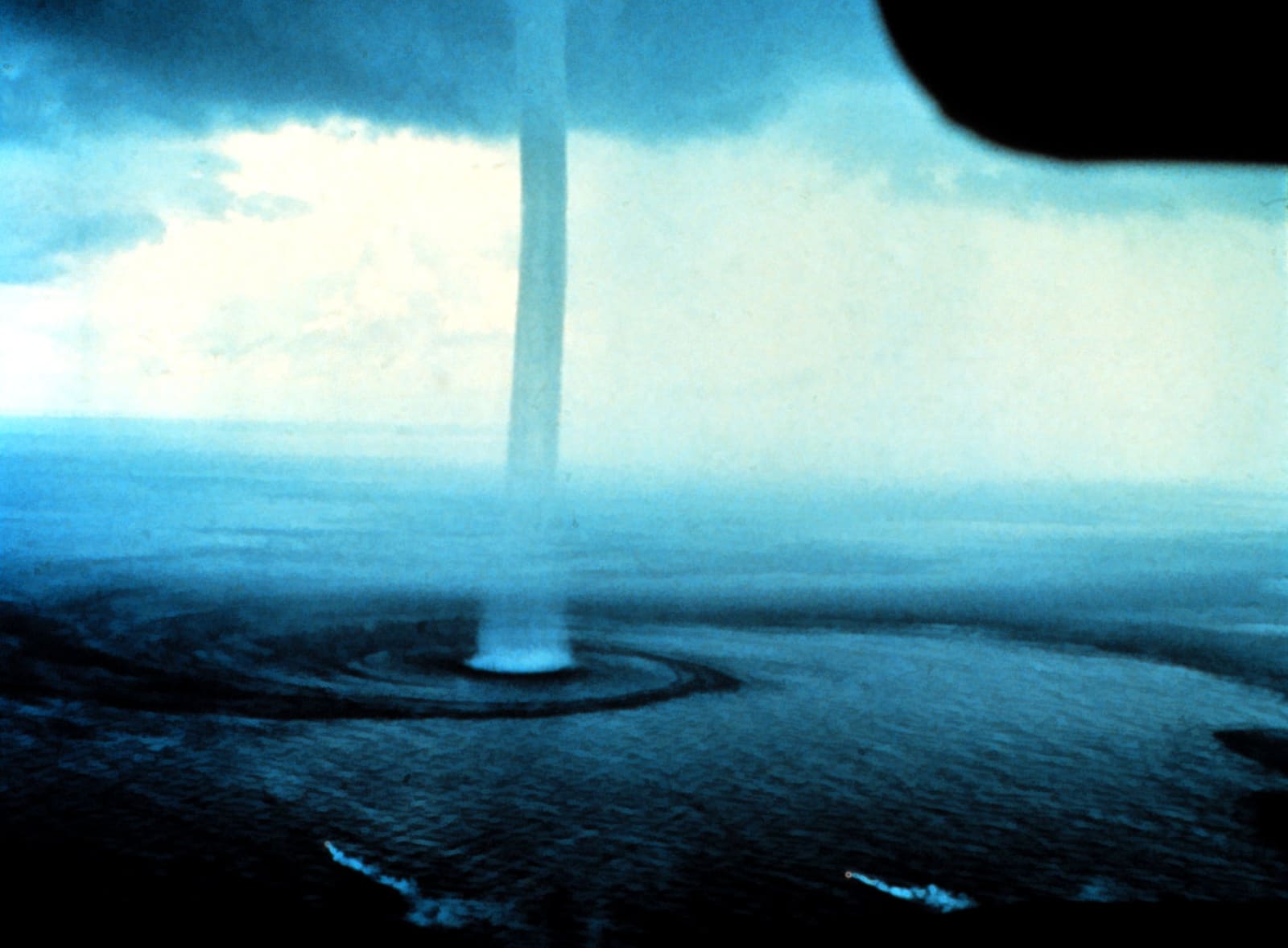
Waterspouts are one reason a Special Marine Warning is issued. Photo: Dr. Joseph Golden, NOAA / Wikimedia Commons · Public domain Wind direction is where the wind comes from (a north wind blows from north to south). Marine forecasts give speed in knots; one knot is about 1.15 mph. Pay attention to gusts. The NWS defines gusts as rapid swings of 10 knots or more between peaks and lulls, and a forecast of "10 to 15 knots, gusts to 25" is a very different day from a steady 15. Think about how the wind lines up with your route: a breeze in your face going out is in your back coming home, and the reverse can mean a wet, slow ride back.
The "seas" number is the significant wave height: the average of the highest one-third of the waves. NOAA notes that individual waves can be much bigger. With a 10-foot significant height, about 1 in 100 waves can top 16 feet. A range such as "seas 2 to 4 feet" shows uncertainty or changing conditions; it does not mean every wave falls in that range.
Where the forecast lists wave detail, look at the period (seconds between crests). Short-period waves are steep and choppy and the hardest on small boats. Long-period swell is gentler offshore but can stack up and break at inlets and shoals.
Waves build fast when the wind blows against the current, such as an outgoing tide in an inlet against an onshore wind. Environment Canada's marine tips add a few more points:
- Plan inlet crossings around the stage of the tide.
- Wind reported from a sheltered harbor can be much lighter than out on open water.
- If the forecast calls for heavier wind and waves outside your bay, believe it, even if the cove looks calm.
Read the forecast for thunderstorms, wind shifts and a cold front passing. Fronts often bring a sudden wind shift and gusts. The NWS says every thunderstorm produces lightning, and storms can bring shifting gusty winds, waterspouts and downpours. They can form fast; BoatUS notes a small cloud can grow into a storm front in about 30 minutes. If storms are in the forecast, plan to be off the water before they are expected, or stay in.
NOAA Weather Radio All Hazards broadcasts continuous NWS forecasts and warnings 24 hours a day on seven VHF frequencies (162.400 to 162.550 MHz). Most marine VHF radios have weather channels, often labeled WX, that receive it, and some radios and dedicated weather receivers can sound an alert when a warning is broadcast (check your radio's manual). Learn the place names and landmarks your local broadcast uses, as BoatUS suggests. When you have cell coverage, a radar app helps you see storms coming. Out of cell range, consider satellite weather.
Compare the forecast with what is actually happening. NOAA's National Data Buoy Center (ndbc.noaa.gov) maps weather buoys and coastal stations that report wind, gusts, waves, pressure and water temperature in near real time. BoatUS notes most update about once an hour. Pick one or two stations on your route and check them in the morning: if the buoy already shows more wind or bigger seas than forecast, believe the buoy. BoatUS also warns that some stations are seasonal or run on tight budgets, so have a backup station in mind.
Use a simple rule set and stick to it:
- No-go: any warning for your area, thunderstorms forecast during your trip, or an advisory when you run a small open boat.
- Think hard: winds or seas near the top of what you and your boat handle comfortably, a front due while you are out, wind against tide at your inlet, or a crew of first-timers.
- Go: conditions well inside your comfort zone for the whole trip, with a backup plan.
"When in doubt, don't go out" exists for a reason. Thunderstorms are usually brief, and the NWS points out that waiting one out ashore beats riding it out on the water.
Tell someone ashore where you are going, who is aboard and when you will be back. Write down the forecast you saw and your bail-out spots: the nearest harbors or coves you can duck into if the weather turns.
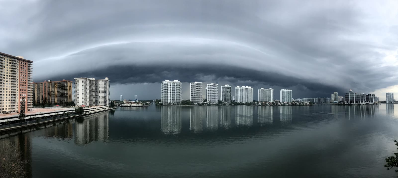
Check WX on the VHF every so often. Watch for darkening skies, a sudden drop or shift in the wind, building swell and distant lightning. BoatUS notes a low, dark, sharp-edged cloud front signals a stronger storm. Count the seconds between a lightning flash and the thunder and divide by five to get the distance in miles. If you hear thunder, you are close enough to be struck.
Common mistakes
- Checking the forecast once, the night before. Updates during the day add advisories and change timing.
- Reading only the wind number. Gusts, wave period and wind direction against current can make a "15 knot" day rough.
- Assuming "seas 3 feet" means no wave bigger than 3 feet. Some waves will be much larger.
- Trusting a calm harbor. It can be blowing hard just outside.
- Treating a small craft advisory as a big-boat problem. If your boat could be hurt by those conditions, it is a small craft.
- "We'll beat the storm back." Storms often move faster than a small boat in building waves.
When to call a pro
- If you are caught out in bad weather and taking on water, have a person overboard or lose power: call USCG on VHF channel 16 (or Mayday if lives are at risk) or 911.
- If you are disabled but not in danger, call your towing service (TowBoatUS or Sea Tow) before the weather gets worse.
- To build skills, take a boating course or a marine weather class from the USCG Auxiliary, America's Boating Club or the BoatUS Foundation.
Tips
- Bookmark your zone's forecast page on your phone so you can check it in seconds.
- Write the forecast on a sticky note at the helm: wind, gusts, seas, storm timing.
- Check nearby buoy and shore station reports in the morning to see if the forecast matches what is happening.
- Plan the trip so the roughest leg comes first, while everyone is fresh and the weather is usually calmer.
- Keep a handheld VHF in the ditch bag in case the main radio or battery fails.
Official references
We read these to write this guide. Your engine's own manual always wins.
- National Weather Service – Marine, Tropical and Tsunami Services (forecast map and zones)
- National Weather Service – Coastal Warning Display Program (advisory and warning definitions)
- NOAA Office of Coast Survey – Marine Weather Warnings
- National Weather Service Key West – Marine Definitions
- National Weather Service – Coastal Waters Wave Detail Forecasts
- NOAA Tides and Currents – NWS Forecast Definitions (significant wave height)
- National Weather Service – NOAA Weather Radio All Hazards
- National Weather Service – Safe Boating, Thunderstorms
- BoatUS – When A Squall Comes Calling (2015)
- Environment and Climate Change Canada – Marine weather tips
- NOAA National Data Buoy Center – Station observations map
- BoatUS Magazine – Data Buoys, Sentinels Of The Sea (2019)
Safety: BoatMend is for information only and does not replace a certified marine technician. You are responsible for your safety and your boat. Read the full disclaimer.
Last updated 2026-10-25
Related guides
Lightning and Your Boat: Protection, Storm Safety and After-Strike Inspection
How lightning damages boats, what a professionally installed protection system (ABYC and NFPA 780 guidance) can and cannot do, what to do when a storm catches you on the water, and a step-by-step inspection checklist after a strike, including the haul-out, compass, electronics, through-hulls and the insurance claim.
Boating in Fog: When to Stay In, Sound Signals, Safe Speed and Using Your Electronics
Fog can roll in on any lake, bay or coast. Learn when to stay at the dock, the fog signals the Coast Guard rules require, how slow is slow enough, how to use radar, AIS and your chartplotter without trusting them blindly, and when to simply anchor and wait it out.
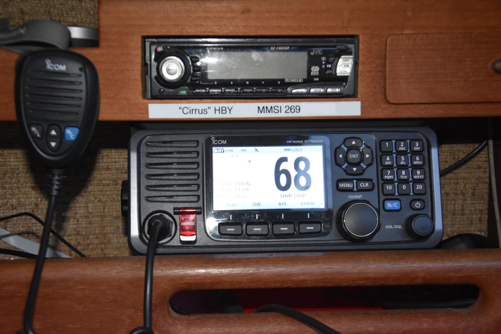
Set Up Your VHF Radio: MMSI, DSC, GPS Hookup and Radio Checks
Get a free or low-cost MMSI number, program it into your DSC radio, connect your GPS so a distress alert sends your exact position, check the antenna, and learn the Channel 16 rules and the right way to do a radio check.
How to Prepare Your Boat for a Hurricane or Tropical Storm
Make a written storm plan before the season, then haul out or secure the boat with doubled lines and chafe gear, strip off everything that catches wind, and check it safely after the storm. Never ride out a hurricane aboard.
Cold-Weather Boating: Cold Water Safety, Gear and Engine Care in Late Fall and Winter
Boating after the crowds leave can be beautiful, but cold water changes the risks. Learn why cold shock is the first danger, why the popular 1-10-1 rule needs caution, what to wear, how to plan, and how to care for the engine, battery and anything that holds water between trips.
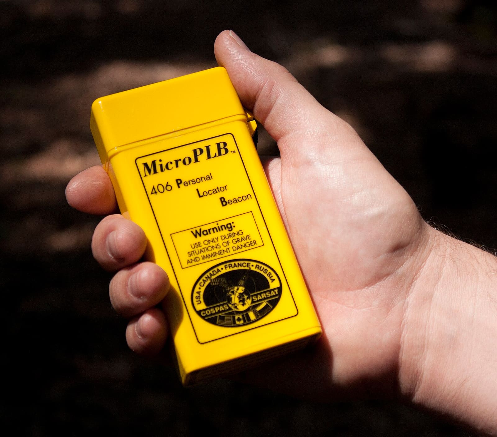
Satellite Messenger vs PLB vs EPIRB: Which Emergency Device Should You Carry?
A PLB or EPIRB calls government search and rescue through the 406 MHz Cospas-Sarsat satellites with no subscription; a satellite messenger like an inReach or SPOT sends an SOS through a private network and adds texting and tracking for a monthly or yearly fee. Learn how each one alerts rescuers, what registration, subscriptions and batteries they need, what to carry for lakes, coastal and offshore boating, and how to test without causing a false alarm.