Keeping Chartplotter Charts and Software Current (Garmin, Raymarine, Simrad, Lowrance, Navionics, NOAA)
Old charts can show buoys that moved and shoals that grew. Learn how chart subscriptions and updates work across the big brands, where NOAA's free charts fit in, how to handle SD cards safely, how to back up your waypoints and routes before anything goes wrong, and a simple yearly routine.
Time
1 h
Shop would charge
$0-250
Applies to
All engines
Safety first: Never install a software update or swap chart cards while you're navigating in tight water, at night or in fog: the display can be out of action for many minutes. Do updates at the dock with steady power. Electronic charts are only as good as their data and their update date, so keep a lookout, watch your depth sounder, and carry a backup (a second device with charts, or paper charts) for the waters you use. If you run aground or start taking on water, call the Coast Guard on VHF channel 16 or 911.
Owners often ask
- My Navionics subscription expired. Will my chartplotter still show charts?
- How do I back up my waypoints before updating my chartplotter software?
- Where do I find out about moved buoys and new shoals that my chartplotter does not show yet?
This guide walks you through it. Still stuck? Ask the AI Mechanic about your engine.
Tools
- Smartphone or tablet with your chartplotter maker's app
- Computer with an SD or microSD card reader
- Blank memory card of the type and size your chartplotter accepts (separate from the chart card)
- Shore power, a charger or a running engine to keep voltage steady during updates
Parts & supplies
- Chart card or chart download for your area, or a chart update/renewal for your existing card
- Spare blank memory card for backups
Before you start
Software vs. charts. Two different things need updating:
- Software (firmware) runs the chartplotter and connected sensors. Updates fix bugs and add features. They're free from the maker. The NMEA 2000 guide covers network-wide software updates.
- Charts (cartography) are the map data: depths, buoys, lights, hazards, marinas. They change all the time, and keeping them current usually needs a chart subscription.
Where charts come from:
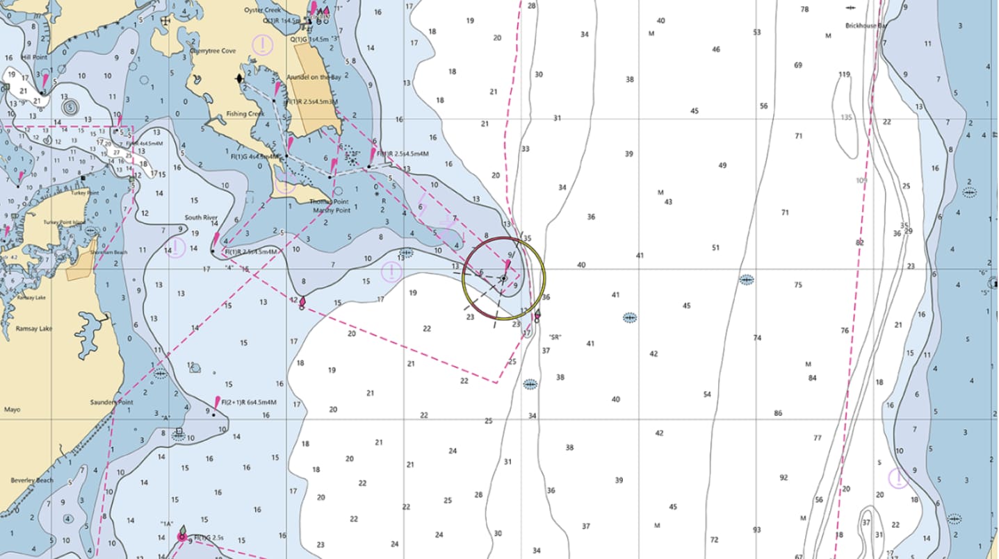
- NOAA ENCs are the official US government electronic charts for US coastal waters and the Great Lakes. NOAA says they're free when downloaded directly from its Coast Survey website, and updated with new cells every weekday evening. Updates include critical changes such as moved buoys and newly found shoals. The Army Corps of Engineers publishes similar Inland ENCs for many rivers. Most recreational chartplotters don't load raw NOAA ENC files directly; brand charts are built from NOAA data and add their own features.
- Garmin Navionics+ and Navionics charts come preloaded on many Garmin units, on memory cards, or as downloads. Navionics cards also work on many Raymarine, Simrad, Lowrance and B&G displays; check compatibility for your exact model.
- Raymarine LightHouse Charts, and C-MAP charts (widely used on Simrad, Lowrance and B&G units, and supported by Raymarine) are the other big names.
Subscriptions. Most new charts include a period of updates and premium features, commonly a year (Raymarine says its LightHouse Charts include a free year of Premium updates, renewable for an annual fee). Once it lapses, your charts generally keep working, but they stop getting updates. Check your chart maker's terms before buying.
Steps
On each display, find the software version (usually under settings, system or "about") and the installed charts and their date or version. Note the chart card's region and serial number (often printed on the label), and whether you have an active subscription. Photograph the screens and save them in BoatMend.
Years of fishing spots and routes can vanish with a failed update or a dead display. Before any update, export them:
- Garmin (ECHOMAP example): insert a memory card, choose Nav Info > Manage Data > Data Transfer > Save to Card, then copy the file from the card's Garmin\UserData folder to your computer.
- Raymarine (Axiom): insert a memory card and use Homescreen > My data > Import/export > Save my data. Raymarine saves waypoints, routes and tracks in a standard GPX file.
- Other brands: look for "export," "backup" or "user data" in the manual for your model.
Copy the file to your computer and a cloud drive. Repeat at the start and end of every season.
Use a separate, blank card for software updates and backups, not your chart card. Raymarine's instructions call for copying updates to a MicroSD card and unzipping them first; many makers warn against saving user data or updates to a cartography card. Label each card clearly. Format the blank card in the way your manual specifies.
Raymarine's card-care rules apply to every brand: insert the card the right way round, never force it, never use pliers or a screwdriver, and use the display's eject procedure before pulling a card. Close the card door firmly afterward so water stays out. Keep spare cards in a small dry case.
Steady power first: shore power or charger on, or the engine running. Then use your maker's method:
- Garmin: through the ActiveCaptain app on a Wi-Fi-equipped unit. The app downloads the update to your phone, transfers it when you reconnect, and the display asks you to install it. Garmin warns that downloads can be large and use your phone data. Many models can also update from a memory card using Garmin's computer software.
- Raymarine Axiom: download the files from Raymarine's website, unzip them, copy them to a MicroSD card and insert it with the display on. The display detects the files (or use Settings > Getting started > Update software > Check SD card) and can update connected Raymarine devices too. Axiom displays can also update over the internet.
- Simrad, Lowrance, B&G and others: use the maker's app, Wi-Fi update or a card download as their support page describes.
Don't switch anything off until the display says the update is complete.
- Garmin Navionics+: Garmin says preloaded charts and charts bought on a card must be activated through the ActiveCaptain app before you get the full features. Connect the app to the display, connect your phone to the internet, and check Chart > My Charts for an active subscription; verification can take a few hours. Updates then flow through the app.
- Raymarine LightHouse Charts: redeem the voucher code that came with the card to activate Premium, and download updates through the LightHouse Charts store from a computer or the Raymarine app.
- Navionics or C-MAP cards on other brands: these are usually updated by putting the card in a computer and using the chart maker's own update tool, or through its app. Follow the chart maker's instructions, not a forum shortcut.
Download only the regions you use; it's faster and uses less card space.
Put the chart card back, start the display and look at the chart information page. The date or version should have changed. Zoom into a spot you know well, such as your marina entrance, and check that recent changes (a new marker or dredged channel) appear.
If waypoints or routes are missing after the update, import your backup from the card: Garmin and Raymarine both have import options in the same data menu you used for the backup. Watch for duplicates, and if you move data between brands, use GPX format. Raymarine notes that some older systems require unique waypoint names, so tidy duplicates before importing.
Before an unfamiliar trip, compare your plotter with NOAA's chart for the area (NOAA's chart locator and free ENC viewer let you look online) and check the Coast Guard's Local Notice to Mariners for your district for buoy changes, dredging and hazards. Chart updates lag behind real-world changes, especially in shifting inlets. The Coast Guard describes the Local Notice to Mariners as its main way of announcing changes to aids to navigation, hazards, channel conditions, dredging, regattas and bridge work, often with chartlets and Army Corps channel survey sheets attached. Two companions are worth knowing: the Coast Guard Light List, which describes every buoy and light and is updated daily (with weekly editions you can download), and NOAA's U.S. Coast Pilot, which covers channels, hazards, currents and port details that a chart can't show.
Update the charts on your phone or tablet navigation app too, and download offline charts there for areas without cell coverage. If you carry paper charts, NOAA's Custom Chart tool lets you print your own from the latest ENC data.
At spring commissioning: back up data, update software on every display and sensor, update or renew charts, then test everything at the dock. Log the date and versions in BoatMend. A plotter that hasn't been updated in years may also stop talking properly to newer sensors on the network.
Common mistakes
- Saving an update or backup onto the chart card and corrupting it.
- Pulling the card or cutting power in the middle of an update.
- Never backing up waypoints, then losing them when a display dies.
- Assuming a five-year-old card is still accurate in a shifting inlet.
- Letting the subscription lapse and not realizing updates stopped.
- Buying a chart card that isn't compatible with your display or its software version.
- Updating the plotter but not the sonar, radar or autopilot units on the network.
When to call a pro
- A display that won't boot or gets stuck partway through an update
- Mixed-brand networks where devices stop talking after an update
- Integrating a new chartplotter with existing autopilot, radar and engine data
- Chart cards that the display won't read after the usual checks
Tips
- Name waypoint backup files with the date and boat name.
- Keep the chart card's serial number and voucher codes in BoatMend.
- Before a big trip, download weather and chart updates at the dock on Wi-Fi.
- If you change brands, export everything to GPX first; most modern plotters can import it.
Official references
We read these to write this guide. Your engine's own manual always wins.
- NOAA Office of Coast Survey – NOAA ENC (Electronic Navigational Charts)
- NOAA Office of Coast Survey – Chart Updates
- U.S. Coast Guard Navigation Center – LNM Frequently Asked Questions (Local Notice to Mariners, Light List, Coast Pilot)
- Garmin ECHOMAP Ultra Owner's Manual (web) – Detailed Charts
- Garmin ECHOMAP Ultra Owner's Manual (web) – Activating a Marine Chart Subscription
- Garmin ECHOMAP Ultra Owner's Manual (web) – Updating Software with the ActiveCaptain App
- Garmin ECHOMAP Ultra Owner's Manual (web) – Backing Up Data to a Computer
- Raymarine Axiom LightHouse 4 Operation Instructions – Updating software from a memory card
- Raymarine Axiom LightHouse 4 Operation Instructions – Saving user data
- Raymarine Axiom LightHouse 4 Operation Instructions – LightHouse charts
- Raymarine Axiom LightHouse 4 Operation Instructions – Supported cartography vendors
- Raymarine Axiom LightHouse 4 Operation Instructions – Care of chart and memory cards
Safety: BoatMend is for information only and does not replace a certified marine technician. You are responsible for your safety and your boat. Read the full disclaimer.
Last updated 2026-11-06
Related guides
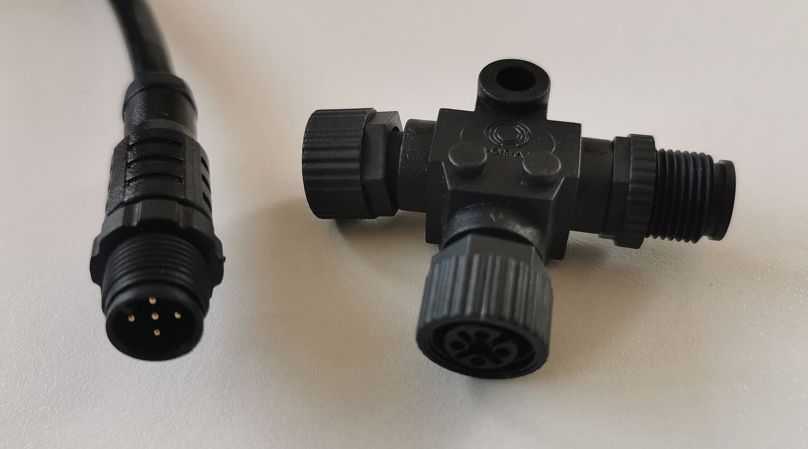
NMEA 2000 Network Basics and Troubleshooting (Plus Chartplotter Updates)
Understand the backbone, terminators, power tap and drop cables that tie your chartplotter, engine data, GPS, depth and autopilot together, then track down why a device keeps dropping off. Finish by updating chartplotter and device software the safe way.
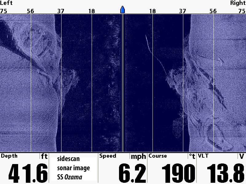
Fish Finder Settings: How to Tune Your Sonar for a Clearer Picture
Get more out of your fish finder by setting frequency, gain (sensitivity), range, contrast, color palette and noise filters on purpose instead of leaving everything on auto, plus how to set the depth offset and track down interference from other electronics.
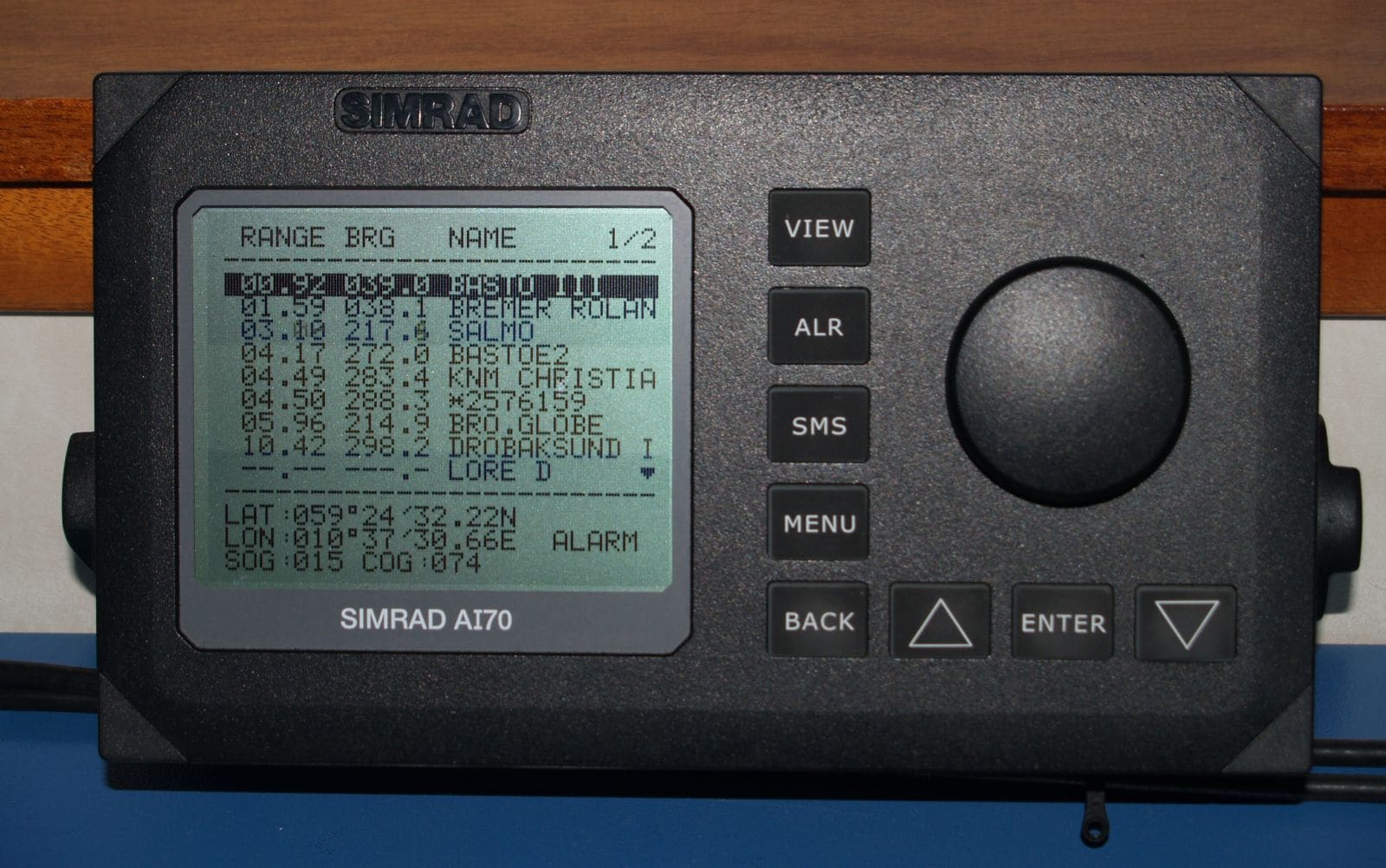
AIS on Your Boat: Receiver vs. Class B, MMSI Programming, Antennas and Checking You're Seen
Choose between a receive-only AIS and a Class B transponder, get the MMSI programmed the legal way, sort out the GPS and VHF antenna (or splitter), confirm other boats and the Coast Guard actually see you, and understand silent mode and AIS man-overboard beacons.
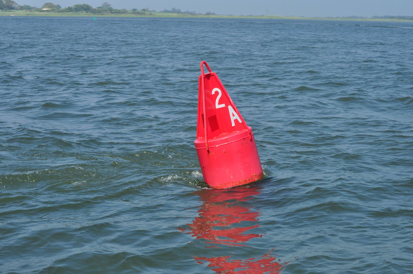
How to Read Buoys and Channel Markers: Red Right Returning and the U.S. Aids to Navigation System
Learn what the red and green buoys, daymarks and lights are telling you: red right returning, nuns and cans, odd and even numbers, preferred channel, safe water, isolated danger, the orange-and-white regulatory and information markers, the yellow symbols on the Intracoastal Waterway and how the Western Rivers system differs. Based on the Coast Guard's U.S. Aids to Navigation System rules (33 CFR Part 62).
Reading Marine Weather Forecasts: Advisories, Wind, Waves and Go/No-Go
Learn where to get the official NOAA marine forecast for your waters, what small craft advisories and warnings really mean, how to read wind and wave numbers, and how to make a simple go/no-go call before you leave the dock.
Boating in Fog: When to Stay In, Sound Signals, Safe Speed and Using Your Electronics
Fog can roll in on any lake, bay or coast. Learn when to stay at the dock, the fog signals the Coast Guard rules require, how slow is slow enough, how to use radar, AIS and your chartplotter without trusting them blindly, and when to simply anchor and wait it out.

How to Keep a Boat Maintenance Log and Organize Your Receipts
Set up a simple maintenance log that records the date, engine hours, work done, parts and who did it, and keep receipts and photos organized. Good records help with warranty and insurance claims, show buyers the boat was cared for and reveal wear patterns before something fails.